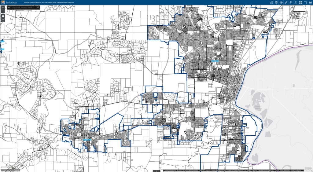
maps.bentoncountyor.gov
Preview meta tags from the maps.bentoncountyor.gov website.
Linked Hostnames
30- 4 links tobentoncountygis.maps.arcgis.com
- 4 links togis.co.benton.or.us
- 4 links tomaps.bentoncountyor.gov
- 3 links towww.oregon.gov
- 2 links tobentoncountyor.gov
- 2 links towww.usgs.gov
- 1 link toassessment.bentoncountyor.gov
- 1 link todata-usfs.hub.arcgis.com
Thumbnail

Search Engine Appearance
Home - Benton County GIS, Oregon
Geographic Information Systems (GIS) Products available from our site include both interactive web maps and GIS data for public use. Public use data can be in the form of pdfs, connectable links, and downloadable data. Links to online maps will take you away from this page. See our FAQ section for common GIS related questions. […]
Bing
Home - Benton County GIS, Oregon
Geographic Information Systems (GIS) Products available from our site include both interactive web maps and GIS data for public use. Public use data can be in the form of pdfs, connectable links, and downloadable data. Links to online maps will take you away from this page. See our FAQ section for common GIS related questions. […]
DuckDuckGo
 https://maps.bentoncountyor.gov/
Home - Benton County GIS, Oregon
Geographic Information Systems (GIS) Products available from our site include both interactive web maps and GIS data for public use. Public use data can be in the form of pdfs, connectable links, and downloadable data. Links to online maps will take you away from this page. See our FAQ section for common GIS related questions. […]
General Meta Tags
9- titleHome - Benton County GIS, Oregon
- Content-Typetext/html; charset=UTF-8
- viewportwidth=device-width, initial-scale=1.0
- robotsindex, follow, max-image-preview:large, max-snippet:-1, max-video-preview:-1
- article:modified_time2024-02-13T21:36:43+00:00
Open Graph Meta Tags
7og:locale
en_US- og:typewebsite
- og:titleHome - Benton County GIS, Oregon
- og:descriptionGeographic Information Systems (GIS) Products available from our site include both interactive web maps and GIS data for public use. Public use data can be in the form of pdfs, connectable links, and downloadable data. Links to online maps will take you away from this page. See our FAQ section for common GIS related questions. […]
- og:urlhttps://maps.bentoncountyor.gov/
Twitter Meta Tags
1- twitter:cardsummary_large_image
Link Tags
31- EditURIhttps://maps.bentoncountyor.gov/xmlrpc.php?rsd
- alternatehttps://maps.bentoncountyor.gov/feed/
- alternatehttps://maps.bentoncountyor.gov/comments/feed/
- alternatehttps://maps.bentoncountyor.gov/wp-json/wp/v2/pages/29
- alternatehttps://maps.bentoncountyor.gov/wp-json/oembed/1.0/embed?url=https%3A%2F%2Fmaps.bentoncountyor.gov%2F
Links
43- https://assessment.bentoncountyor.gov/property-account-search
- https://bentoncountygis.maps.arcgis.com/apps/webappviewer/index.html?id=57b2358b418142b2891b3e863c29126a
- https://bentoncountygis.maps.arcgis.com/apps/webappviewer/index.html?id=898354f9a64f4efda5f67480a4c7a197
- https://bentoncountygis.maps.arcgis.com/apps/webappviewer/index.html?id=dd4c8111eb574afe9313e3f0cdaf77d7
- https://bentoncountygis.maps.arcgis.com/apps/webappviewer/index.html?id=e87c1dfd880543d1a5ed5041745f3d88